3D mountain models from real terrain
Pick a summit and the builder creates a model from real elevations: 2 m lidar for Switzerland, a satellite terrain model for the rest of the world. Add a frame, rocky sides, climber or hut figures and text. Your mountain is not listed? Pick any point on the map.
- Mount Everest8 849 m · Nepal / China
- K2 (Chhogori)8 611 m · Pakistan / China
- Aconcagua6 961 m · Argentina
- Denali6 190 m · USA, Alaska
- Kilimanjaro5 895 m · Tanzania
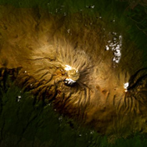
- Mont Blanc4 808 m · France / Italy
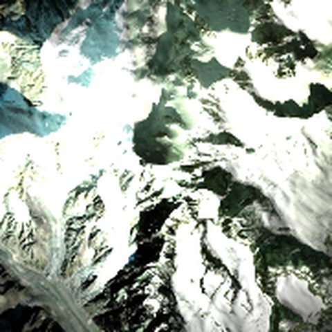
- Matterhorn4 478 m · Switzerland / Italy
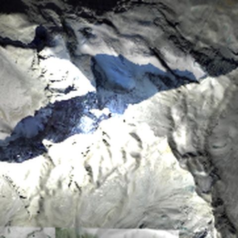
- Eiger3 967 m · Switzerland
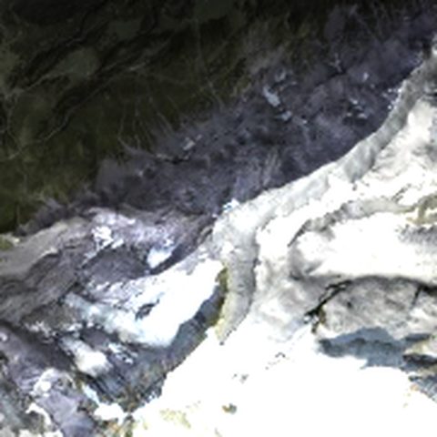
- Mount Fuji3 776 m · Japan
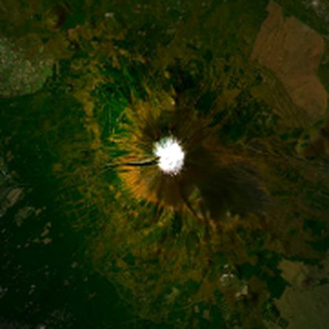
- Tre Cime di Lavaredo2 999 m · Italy, Dolomites
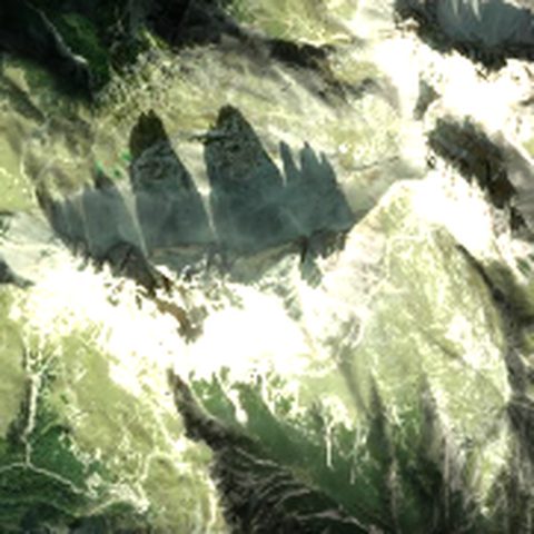
- Mount Olympus2 917 m · Greece
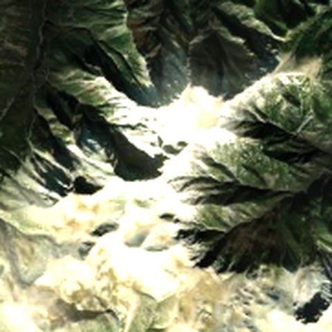
- Rysy2 503 m · Poland / Slovakia, Tatras
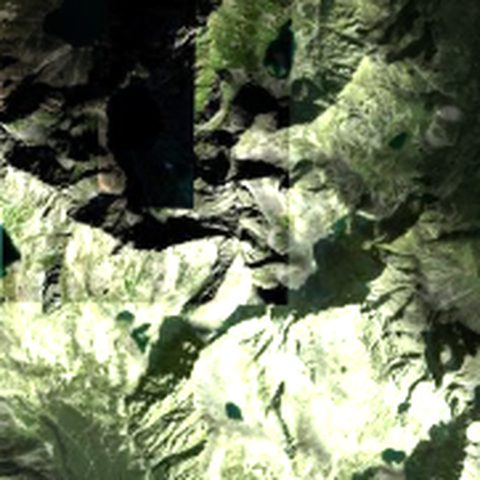
- Hoverla2 061 m · Ukraine, Chornohora
- Pip Ivan Chornohirskyi2 028 m · Ukraine, Chornohora
- Petros2 020 m · Ukraine, Chornohora
- Ai-Petri1 234 m · Ukraine, Crimea
- Table Mountain1 085 m · South Africa, Cape Town
Models print without supports and are watertight. The photo illustrates the summit; the model is built from terrain data. Printed models are delivered within Ukraine only.