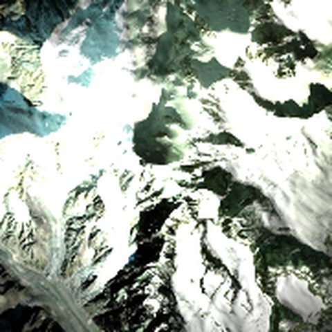
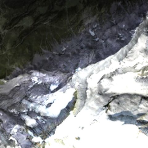
3D model of Hoverla — Ukraine's highest mountain for your shelf
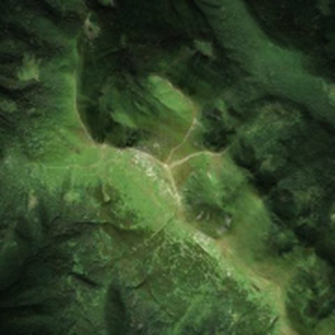
Hoverla (2,061 m) is the highest peak of Ukraine and of the Chornohora ridge in the Ukrainian Carpathians, on the border of the Zakarpattia and Ivano-Frankivsk regions. Thousands of people climb it every summer, and for many it is their first real mountain.
- Elevation
- 2 061 m
- Where
- Ukraine, Chornohora
- Model area
- ≈5×5 km
- Model size
- 12–40 cm, larger as tiles
- Print file
- 3MF, right after generation
- Printing
- price on request (depends on size)
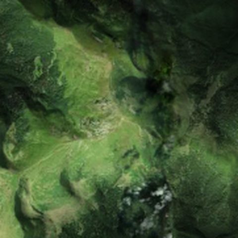
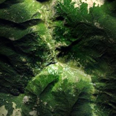
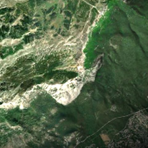
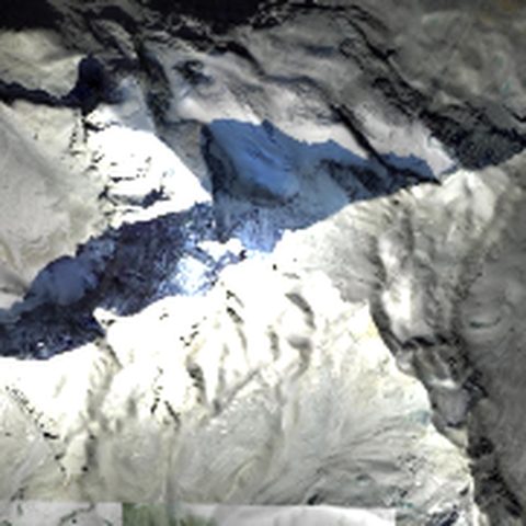
The model covers an area of about 5×5 km: the dome of Hoverla, the saddle towards Petros, the Chornohora ridge and the valleys the trails follow from Zarosliak. Elevations come from a satellite terrain model, and the vertical can be exaggerated so the slopes read more clearly.
A great gift for someone who has already stood on Hoverla — with a figure on the summit and the climb date on the frame. Or for anyone who misses the Carpathians and wants the mountains at home.
How to make the model
- Press the button — the mountain builder opens with this summit.
- Choose size, height, frame and sides; the instant preview shows the terrain from above.
- Generate the 3D model, spin it in the browser and order a print or download the file.
What you can adjust
- plate size from 12 to 40 cm (large ones as gap-free tiles)
- vertical exaggeration so slopes read more clearly
- frame: rounded, straight or none
- sides: sloped or rocky with ribs
- figures: a person on the summit, a climber on the steepest face, a hut
- colour satellite imagery on the surface
Models print without supports and are watertight. The photo illustrates the summit; the model is built from terrain data. Printed models are delivered within Ukraine only.