3D relief map of the Carpathians
A true three-dimensional model of the mountains: every ridge, valley and peak with real elevation from satellite data. Not contour lines on paper — physical relief you can read with your fingers.
Pick any part of the Carpathians — Hoverla with the Chornohora ridge, Borzhava, Drahobrat or your own trekking route — and we'll print it as a desk model, a wall panel or a topo keychain.
What a relief 3D map is
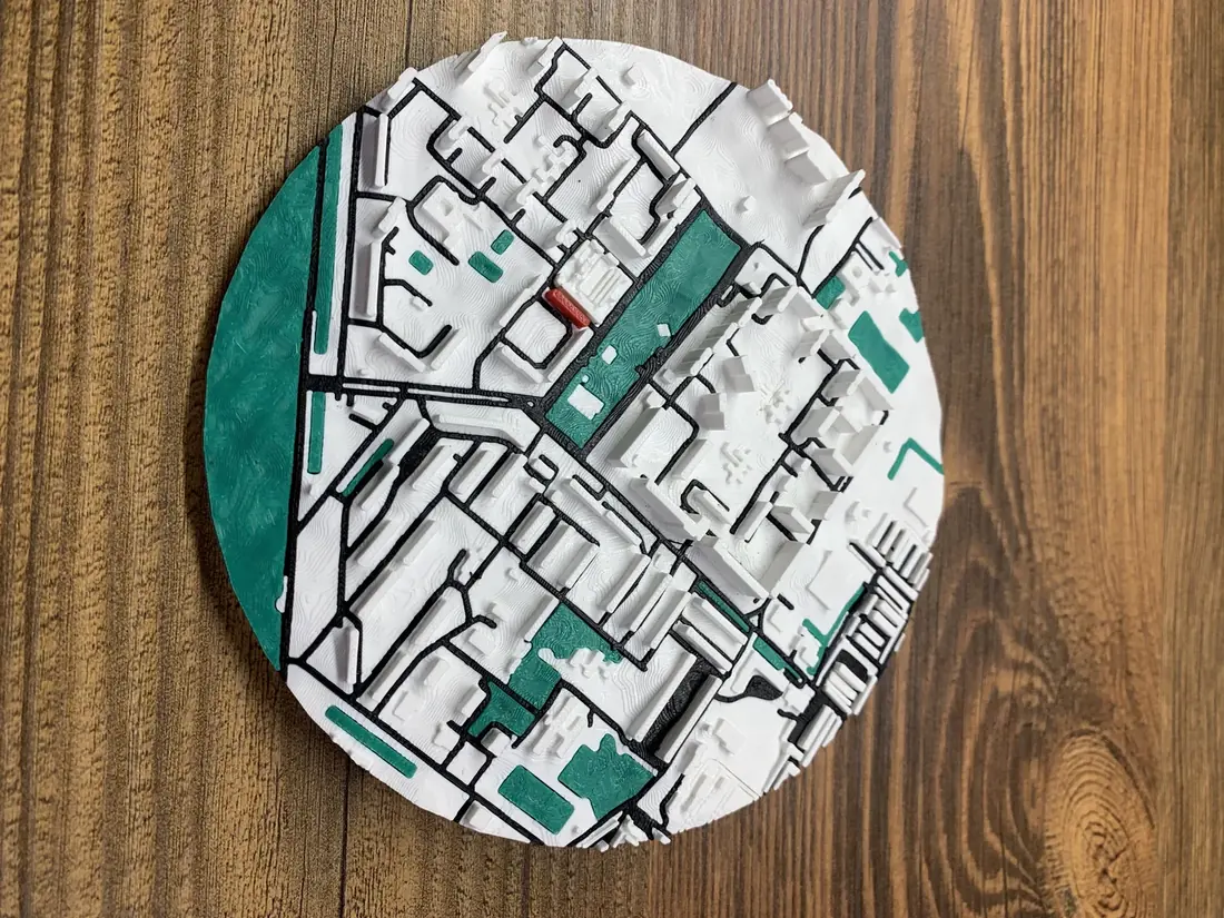
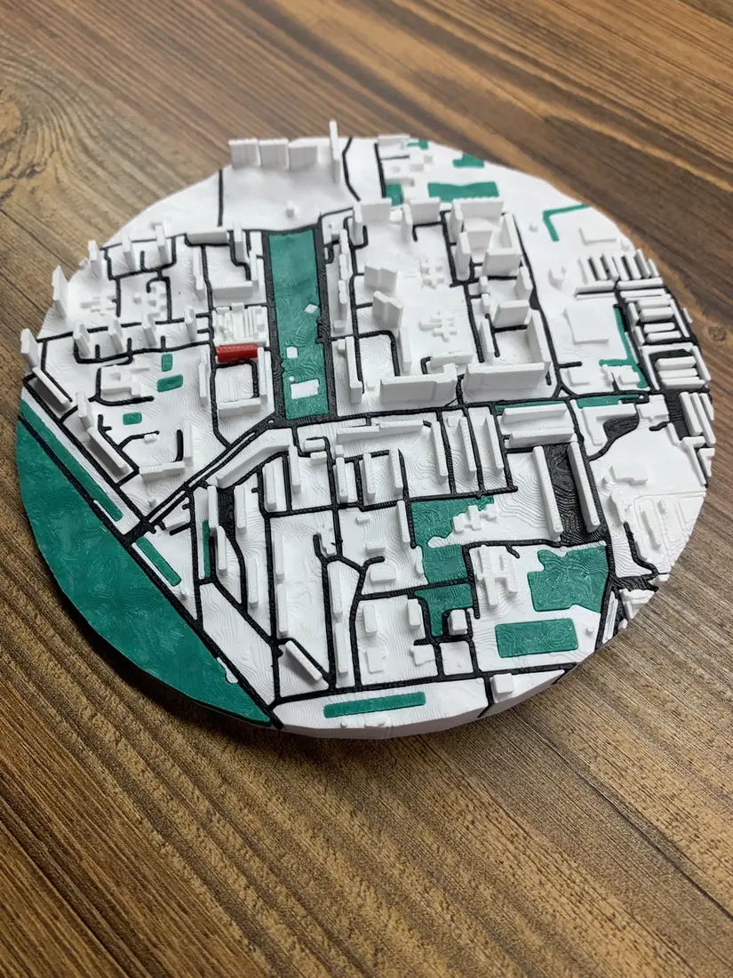
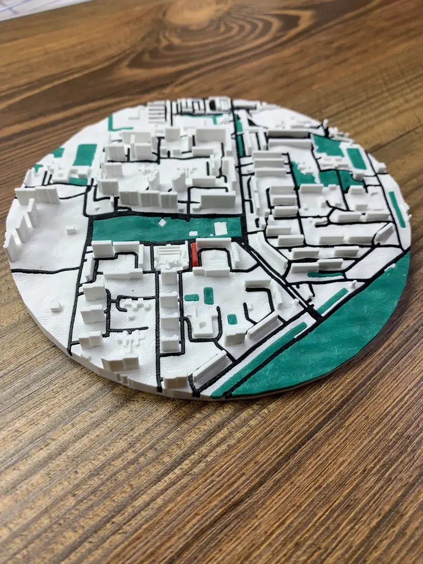
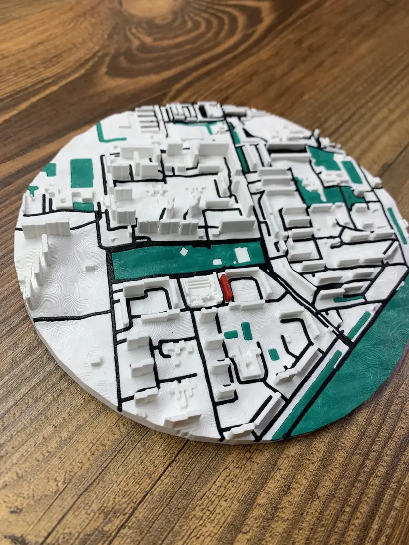
The builder takes satellite elevation data and constructs a precise 3D surface of the chosen area. Mountains rise, valleys sink — the height scale can be amplified so the relief reads even stronger.
Trails, rivers, forests and villages from OpenStreetMap are draped over the terrain. The model is printed in eco-friendly Eco PLA and needs no finishing.
Formats and prices
Desk relief map (8–15 cm)
a model of the chosen ridge or valley for a shelf
from ≈€14
Multi-tile relief panel
a large piece of the mountains for a wall
from ≈€58
Topo keychain (55×30 mm)
a summit or route in your pocket, text on the back
from ≈€4
Map with your GPX track
your route as a relief line over the mountains
from ≈€4
Your trek — on the map
Climbed Hoverla or walked the Chornohora ridge? Upload a GPX track from Strava, Garmin or Komoot — the route line is laid in relief over the mountains exactly where you walked. Nobody else has this map: it's your route.
How to order
- 1Open the builder and find the part of the Carpathians (or any mountains on Earth) you want.
- 2Enable terrain mode — the model becomes three-dimensional instantly. Amplify the height scale if you like.
- 3Add a GPX track if you want to immortalise a route.
- 4Order the print — made in 2–4 business days, shipped across Ukraine.
FAQ
- How is it different from a paper topographic map?
- A paper map shows elevation as contour lines you need to know how to read. A relief 3D map is physically volumetric: Hoverla is visibly a mountain, the Prut valley a depression. It's both a navigation souvenir and a desk model of a place you walked.
- Which parts of the Carpathians can I order?
- Any: Chornohora with Hoverla and Petros, Borzhava, Svydovets with Drahobrat, Gorgany — or the Polish Tatras, the Alps, any mountains on Earth. You choose the frame in the builder yourself.
- How accurate is the relief?
- Elevations come from satellite data (~30 m resolution) — plenty for an 8–15 cm model to put every ridge and saddle in its place. The height scale can be amplified ×1.5–2 for a more dramatic look.
- Can I get a relief map of a city rather than mountains?
- Yes — terrain can be enabled for any area. Hilly cities (Kyiv, Lviv) look especially good. For flat cities the relief is barely visible — we're honest about that.
- Price and lead time?
- A desk relief map from ≈€14 (size M, 8 cm). Topo keychain from ≈€4. Production 2–4 business days, shipping across Ukraine.