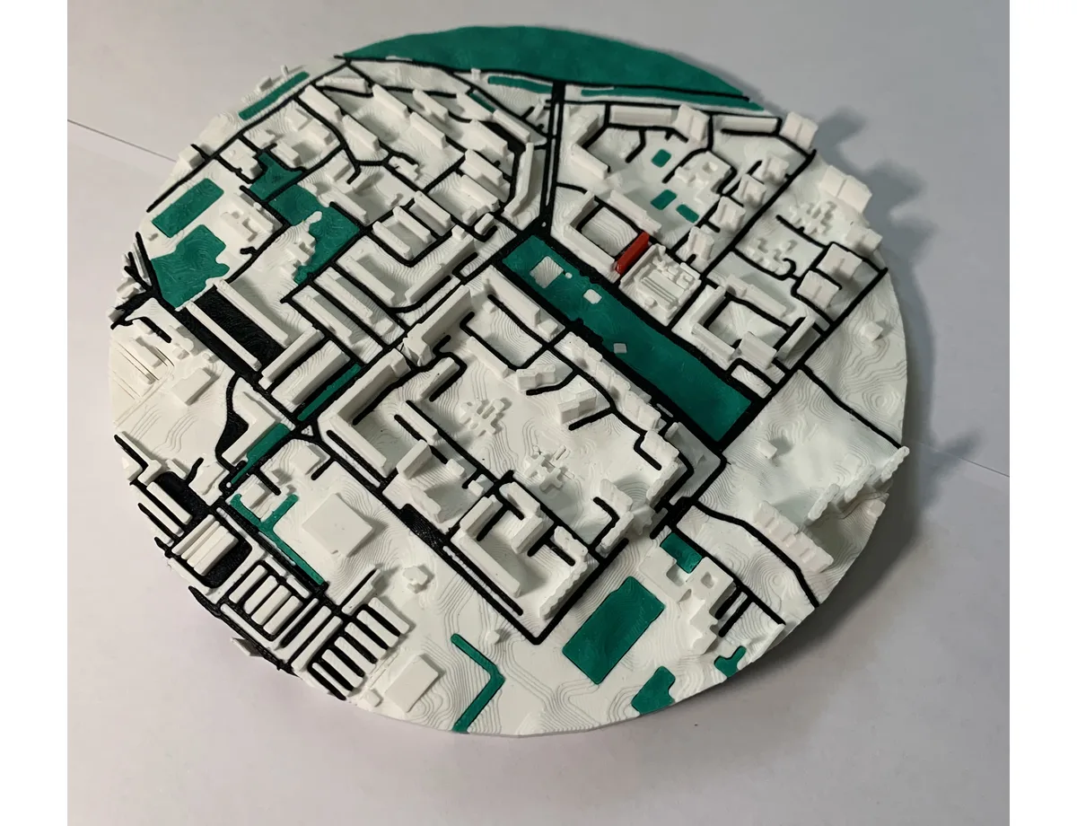
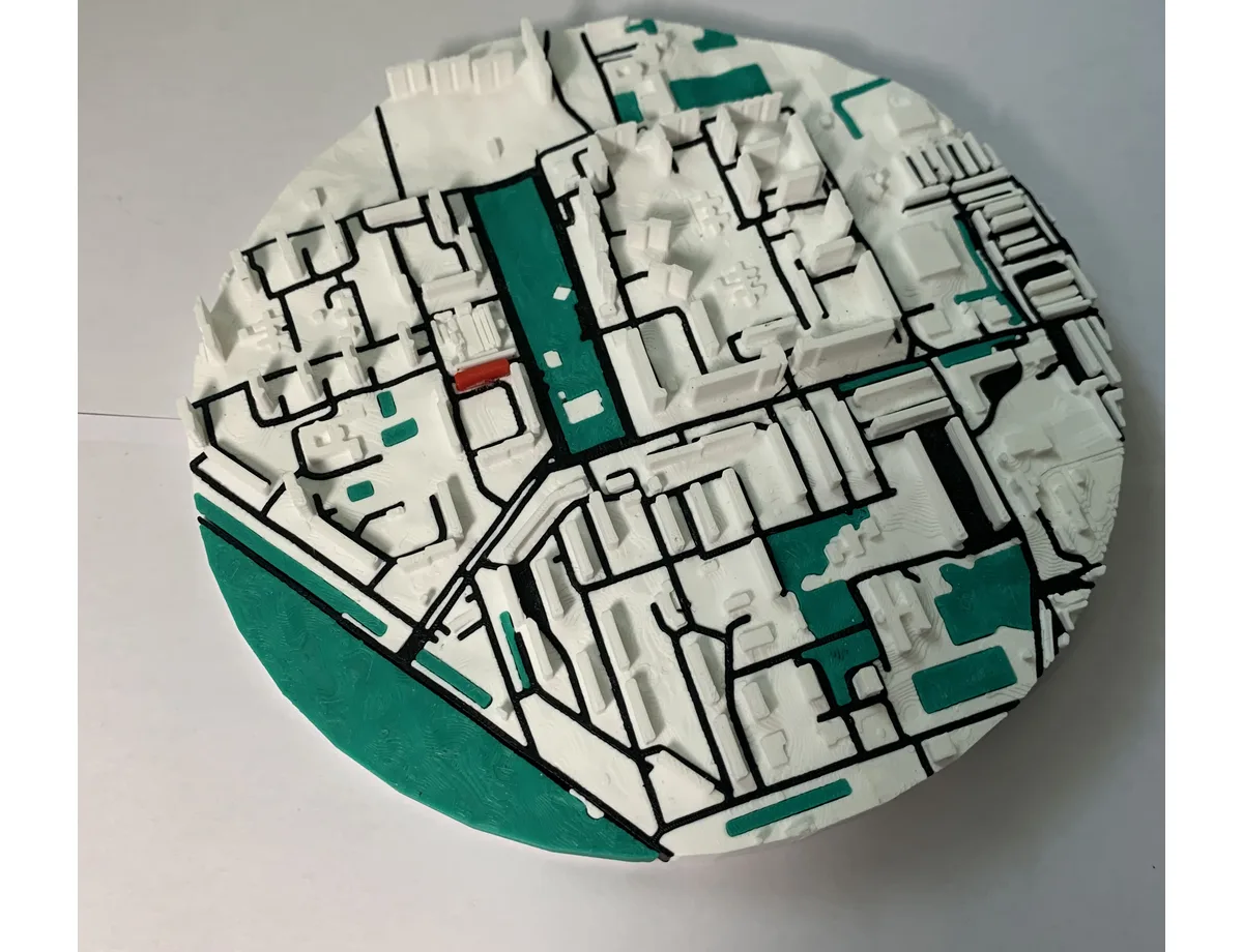
3D neighbourhood map with a park and boulevard
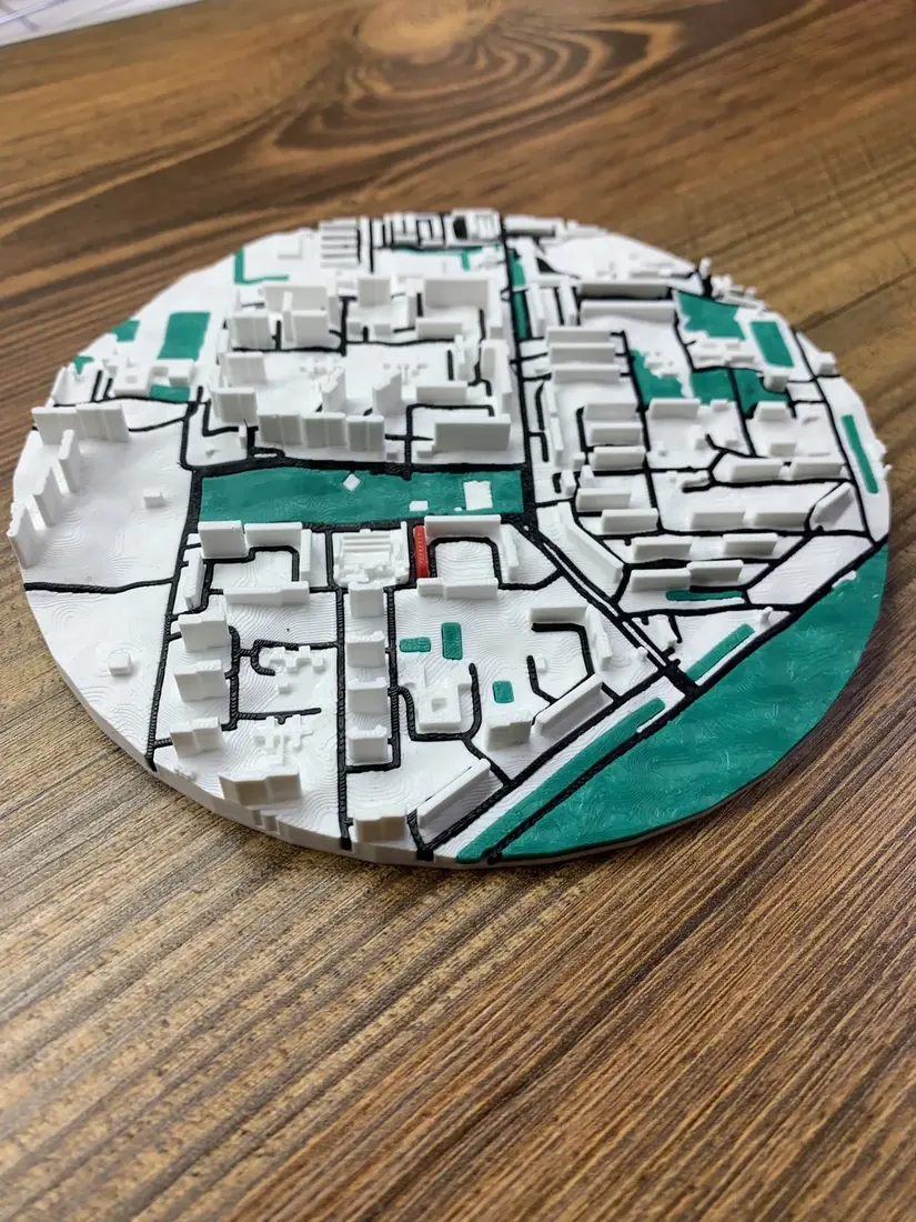
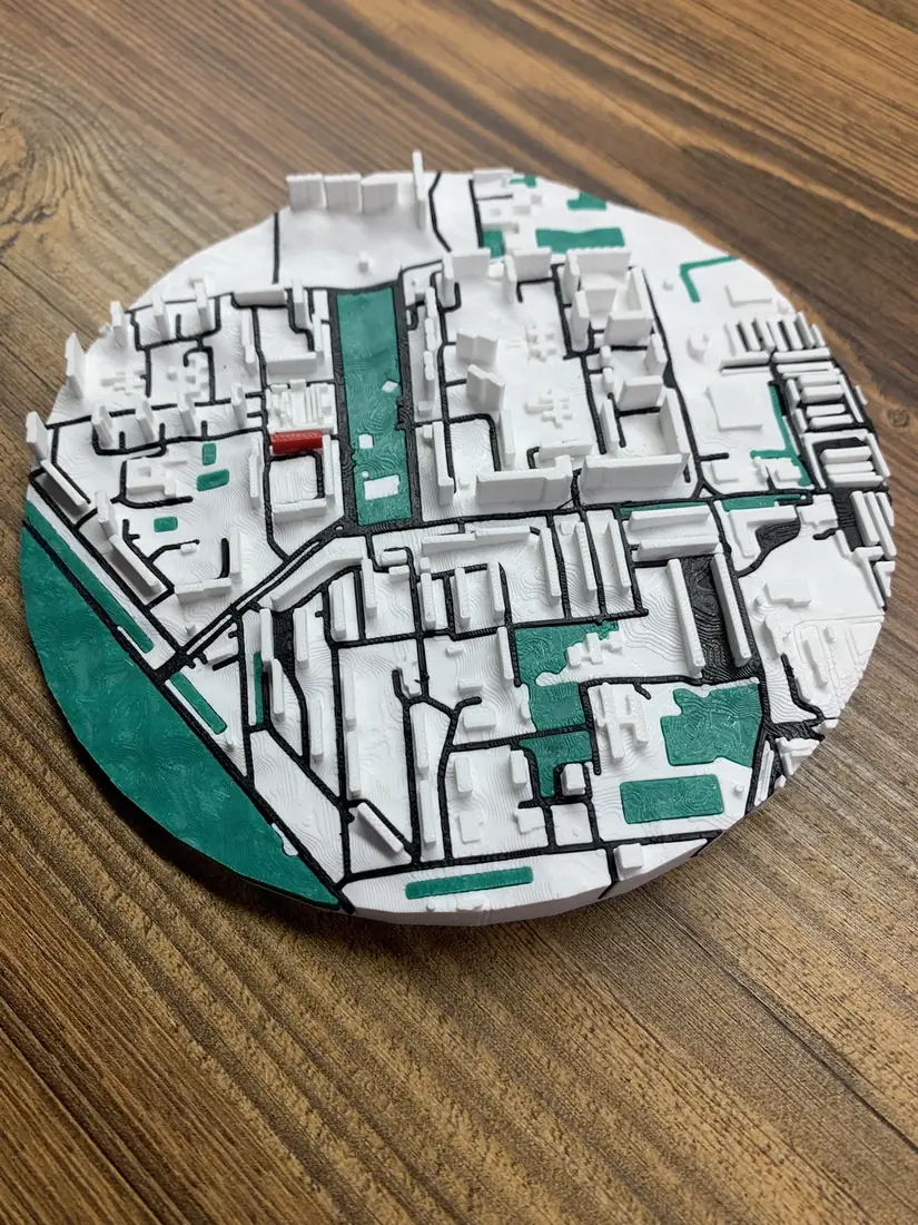
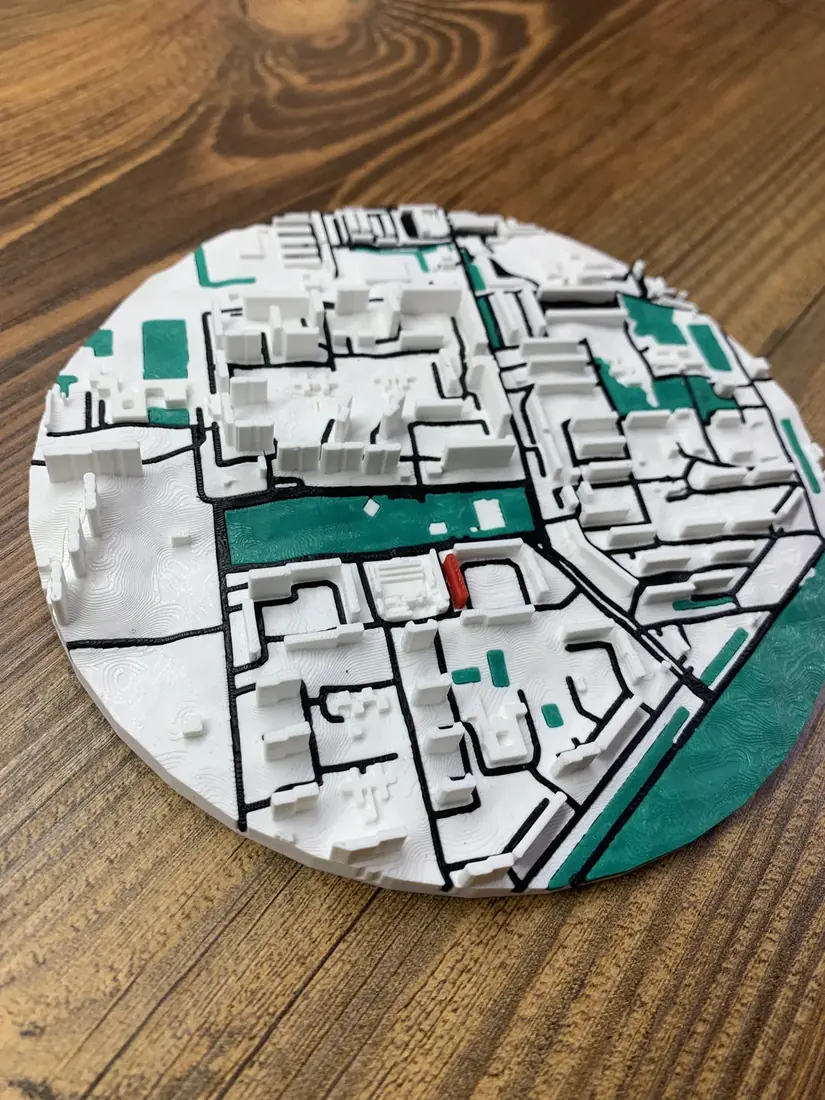
The map at an angle on a wooden table. A green boulevard splits the blocks in two and a large park runs along the edge. These details come from OpenStreetMap, so the map matches the real neighbourhood.
3D city map: from ≈€8
About the 3D map
- Product
- 3D-printed map of any area on OpenStreetMap
- Sizes and prices
- 5.5 cm ≈€8 · 8 cm ≈€12 · 11 cm ≈€15 · 15 cm ≈€18
- My home
- a red marker on your building
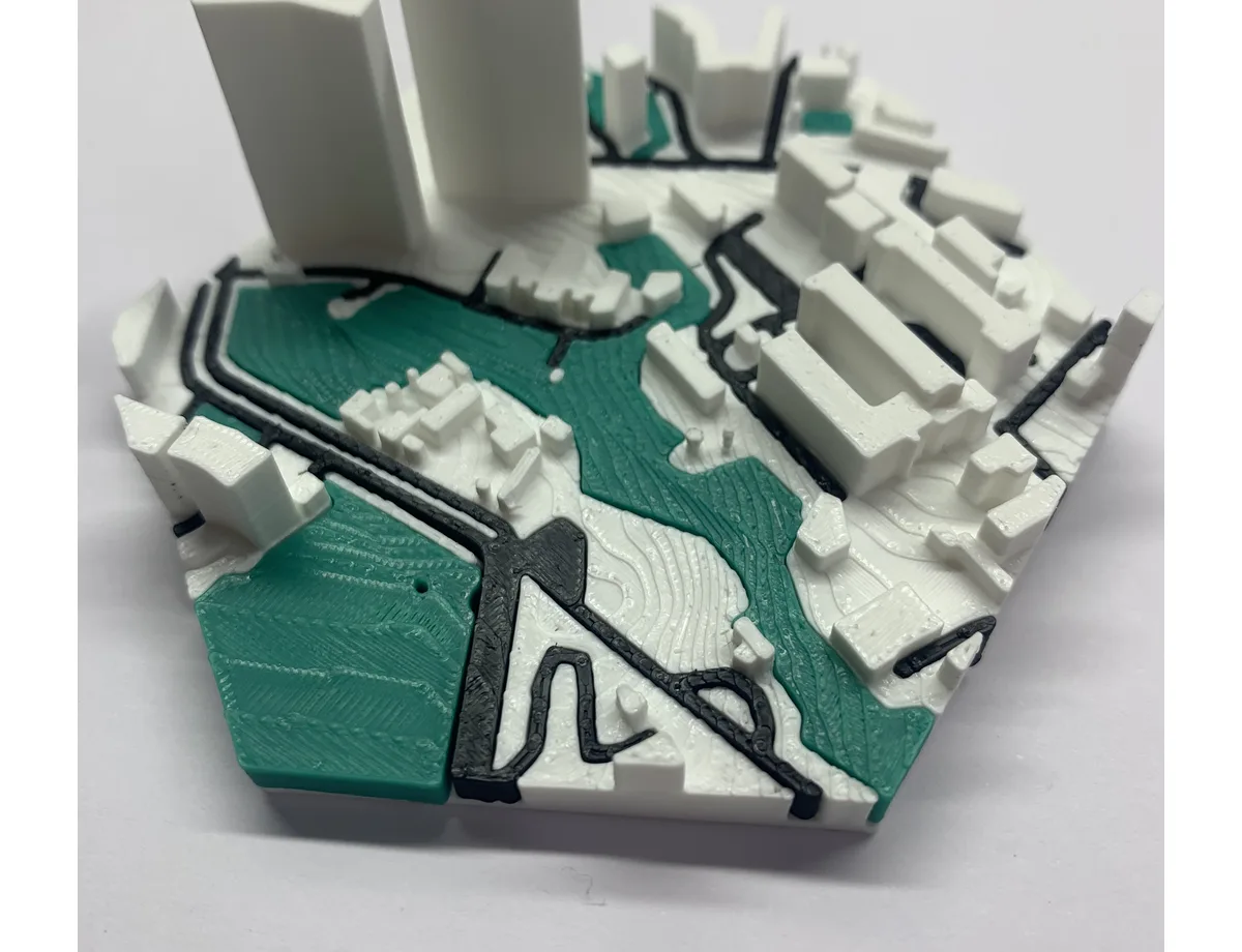
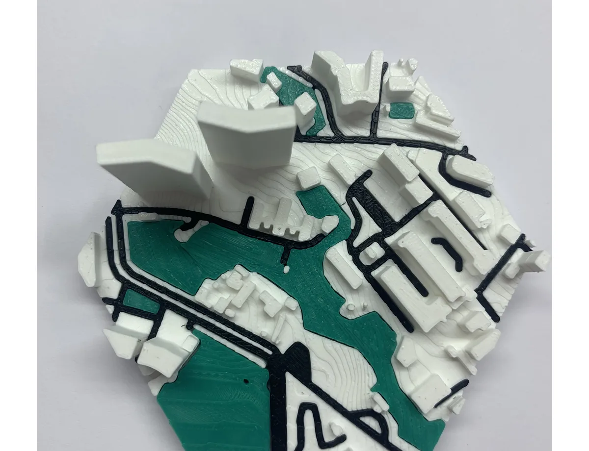
- Relief
- optional terrain relief +85 UAH
- Material
- Eco PLA plastic
- Lead time
- 2–4 business days + Nova Poshta delivery